Our Services
About Us
Geodetic Engineers is a forward-thinking multidisciplinary consultancy founded in 2020, specializing in geomatics, civil engineering, and water resources management. We combine technical expertise with cutting-edge technology to deliver solutions that are precise, sustainable, and reliable.
Our Team
We are proud to have a diverse team of licensed surveyors, certified drone pilots, geomaticians, and civil engineers. Each professional brings specialized knowledge and a commitment to excellence, ensuring that every project is executed with accuracy and efficiency.
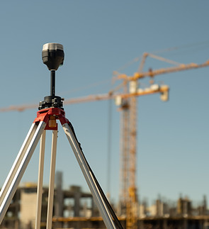
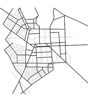
What We Do
Our services span across three core disciplines:
-
Geomatics & Geospatial Solutions
-
Advanced surveying and mapping using GNSS/RTK, total stations, LiDAR, and UAV systems
-
High-resolution aerial imagery and 3D modeling
-
Precision positioning for infrastructure and land development projects
-
-
Civil Engineering Services
-
Site planning and infrastructure layout
-
Road and drainage design
-
Construction supervision and quality assurance
-
Regulatory compliance and permitting support
-
-
Water Resources Engineering
-
Hydrology and hydraulics analysis
-
Flood risk assessment and mitigation strategies
-
Sustainable water management systems
-
Climate-resilient infrastructure design
-
Our Approach
At Geodetic Engineers, we believe that innovation and compliance go hand in hand. By integrating advanced technologies with industry standards and regulatory frameworks, we deliver solutions that are not only technically sound but also practical and future-ready.
Why Choose Us
Accuracy: Leveraging state-of-the-art equipment and methodologies
Efficiency: Streamlined workflows that save time and reduce costs
Reliability: Long-term solutions designed for sustainability and resilience
Expertise: A multidisciplinary team with proven experience across sectors


Get a Quote
Tell us which services align with your goals—surveying, mapping, design, or water management—and we’ll craft a customized plan.