

GEODETIC ENGINEERS
Professional Engineering Consultant
ABOUT
Geodetic Engineers is a multidisciplinary consultancy specializing in geomatics, civil engineering, and water resources, established in 2020. Our team of licensed surveyors, certified drone pilots, geomaticians, and civil engineers applies advanced technologies—including GNSS/RTK, LiDAR UAV systems, Bathymetric Equipment—to deliver precise positioning, mapping, and design solutions. In addition to geospatial expertise, we provide core civil engineering services such as site planning, infrastructure layout, and construction supervision, complemented by hydrology and hydraulics capabilities that support effective water management, flood risk assessment, and sustainable infrastructure design. By integrating technical innovation with regulatory compliance, we ensure projects are executed with accuracy, efficiency, and long-term reliability.
Services
We provide integrated geomatics, civil engineering, and water resources services, combining advanced geospatial expertise with sustainable infrastructure and water management solutions.

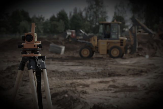
Geomatics & Engineering Surveys
-
🗺️ Topographic Surveys
-
📏 Geodetic Surveys
-
📸 Photogrammetric Surveys
-
🔦 LiDAR Surveys
-
🚁 Drone/UAV LiDAR Surveys
-
🛰️ GNSS/RTK Surveys
-
🌊 Hydrographic Surveys
-
⚡ Utility Surveys

Smart Infrastructure Design & Water Systems Modeling
🚧 Smart Infrastructure Design
-
Roadway design and alignment
-
Pipeline and utility network design
-
Site planning and infrastructure layouts
-
Construction surveying and supervision
-
3D layouts and advanced simulations
💧 Water Systems Modeling
-
Hydrology studies (watershed, rainfall-runoff, flood risk)
-
Hydraulic analysis (pipelines, canals, reservoirs, stormwater systems)
-
Drainage and flood control design

Boundary Surveys and Site Planning(Cadastral)
Boundary Surveys
-
Establish and verify property lines
-
Mark boundaries with monuments or markers
-
Support subdivisions and parceling
🏗️ Site Planning (Cadastral)
-
Assess land use and development potential
-
Design plot layouts for residential, commercial, or industrial projects
-
Provide digital cadastral maps for planning and management